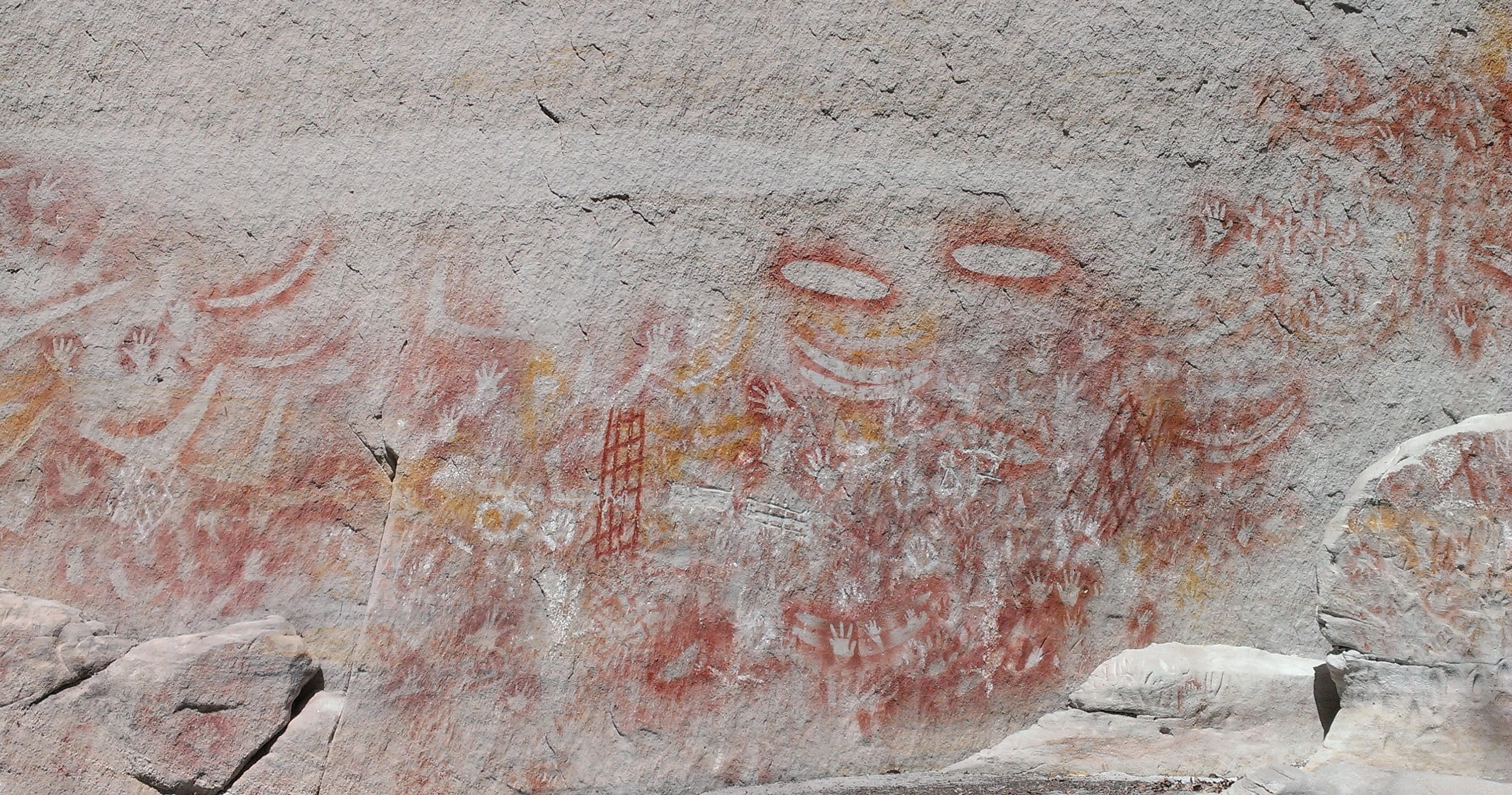
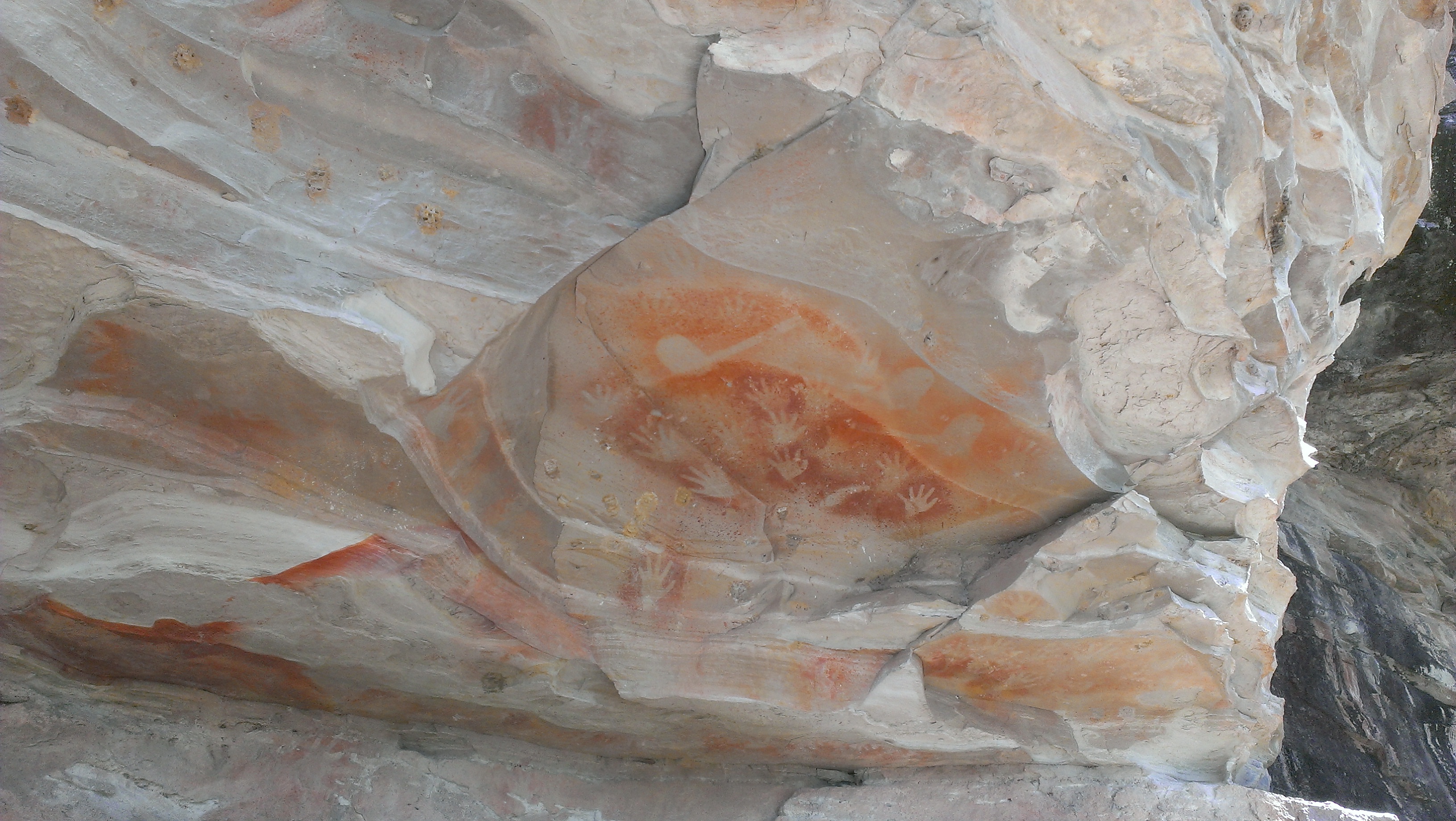
The Glasshouse Mountains are beautiful and mysterious. They’ve been sitting there since long before James Cook came past in his little ship and named them, and for many thousands of years they’ve had their own Indigenous names and their own stories.
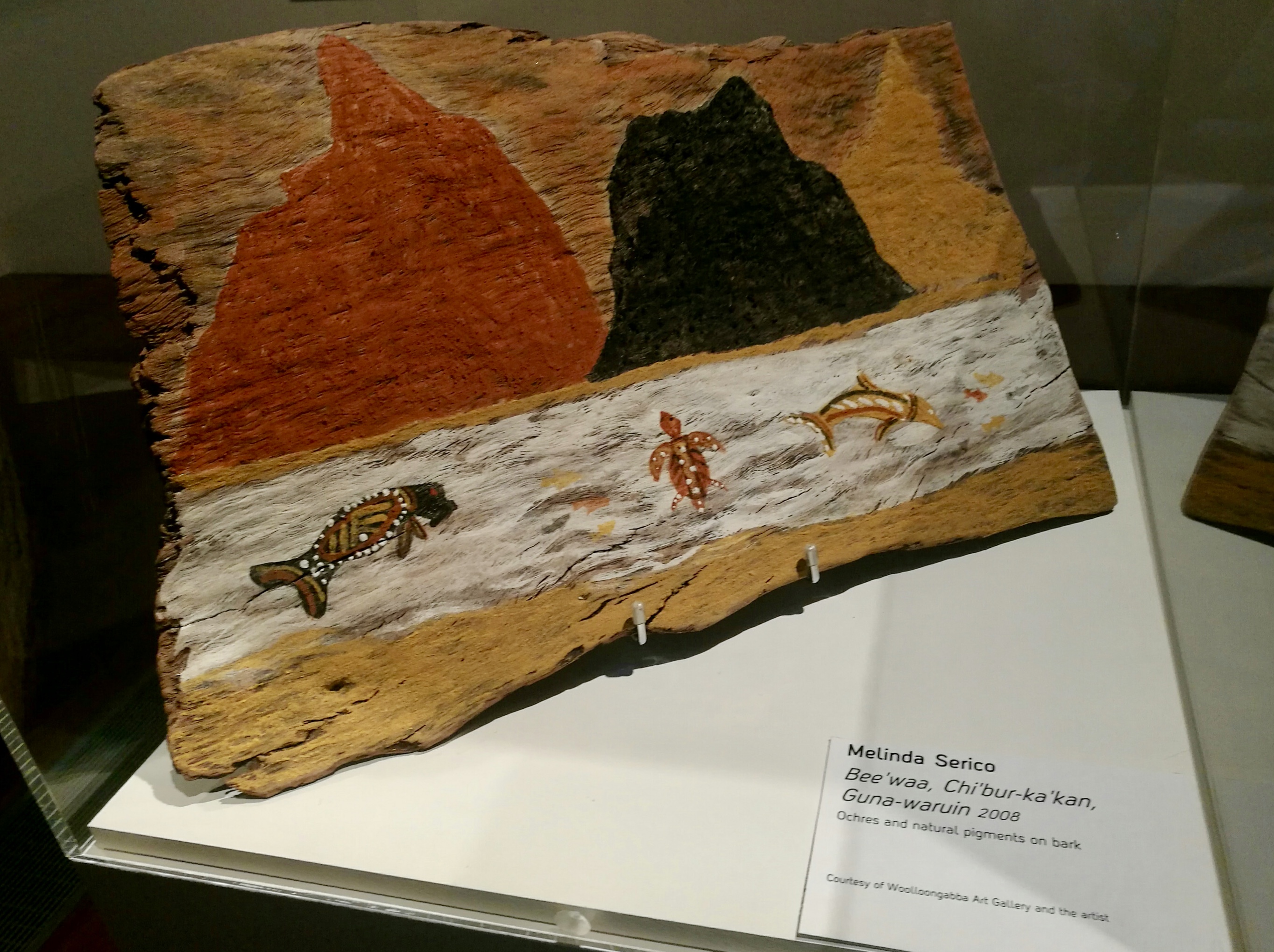
Moreton Bay Regional Council has three art galleries that specialise in exhibitions of the way artists represent local places. One of these, the Caboolture Art Gallery, has shown a range of artists’ depictions of the Glasshouse Mountains, including Indigenous artists, such as Melinda Serico.
Many artists try to capture the atmosphere of the Glasshouses, but Lawrence Daws is my favourite. He lived near the mountains for years, and his paintings show the quality of the light, the glimmer of creeks and farm dams, the familiar shapes of Tibrogargan, Beerwah, Coonowrin and the other peaks.

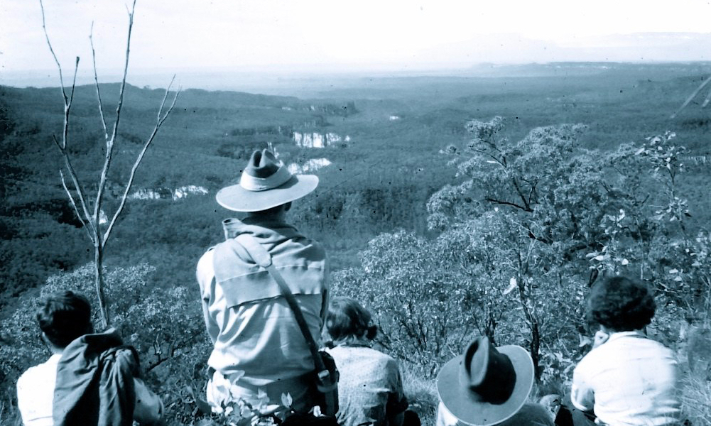
I can see the beauties of landscape for myself, as I did when from the slopes of Ngun Ngun I took this photo of Tibrogargan; but seeing them through the eyes of an artist gives me an extra layer of appreciation.


It’s difficult to paint rainforests effectively: the trees are so tall, the undergrowth so thick. Queensland artist William Robinson found ways to paint the forests of Beechmont, in the beautiful hills near Lamington National Park, which puts us above and below the forest, looking up at towering trees and down at the valleys below, all on the same canvas. He painted the birds and animals, magnificent skies, and the stars and moon reflected in mountain pools.

Mount Barney, on the New South Wales border, is iconic to bushwalkers.

Hulking and multi-peaked, with hidden valleys and forested slopes, it is a challenge to climb, and to paint. John Rigby painted a colourful image of Mount Barney in all its jagged beauty.

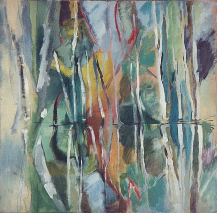
My artist mother, Pat Fox, spent time on Cape York in the 1970s, and she took a photo, now faded, of a well-known waterhole near Weipa.
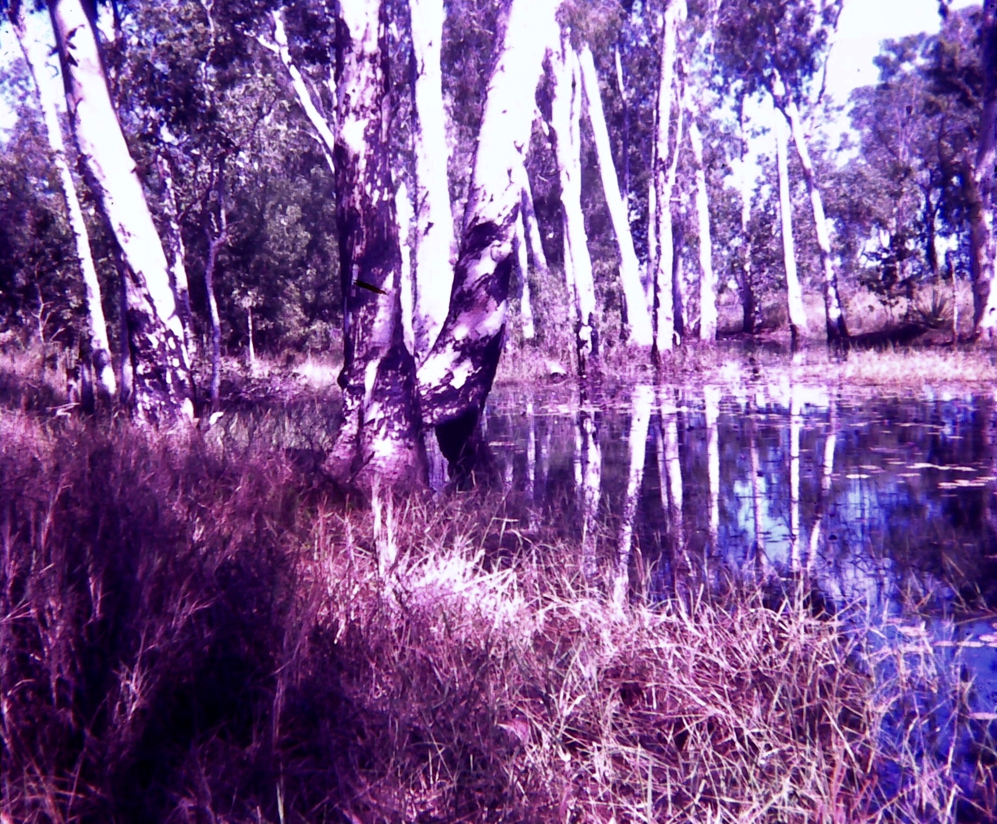
Back home, she painted the scene, showing the reflection of saplings and trees in the still water. Comparing the two images shows how she heightened the impact through her choice of colour and composition.
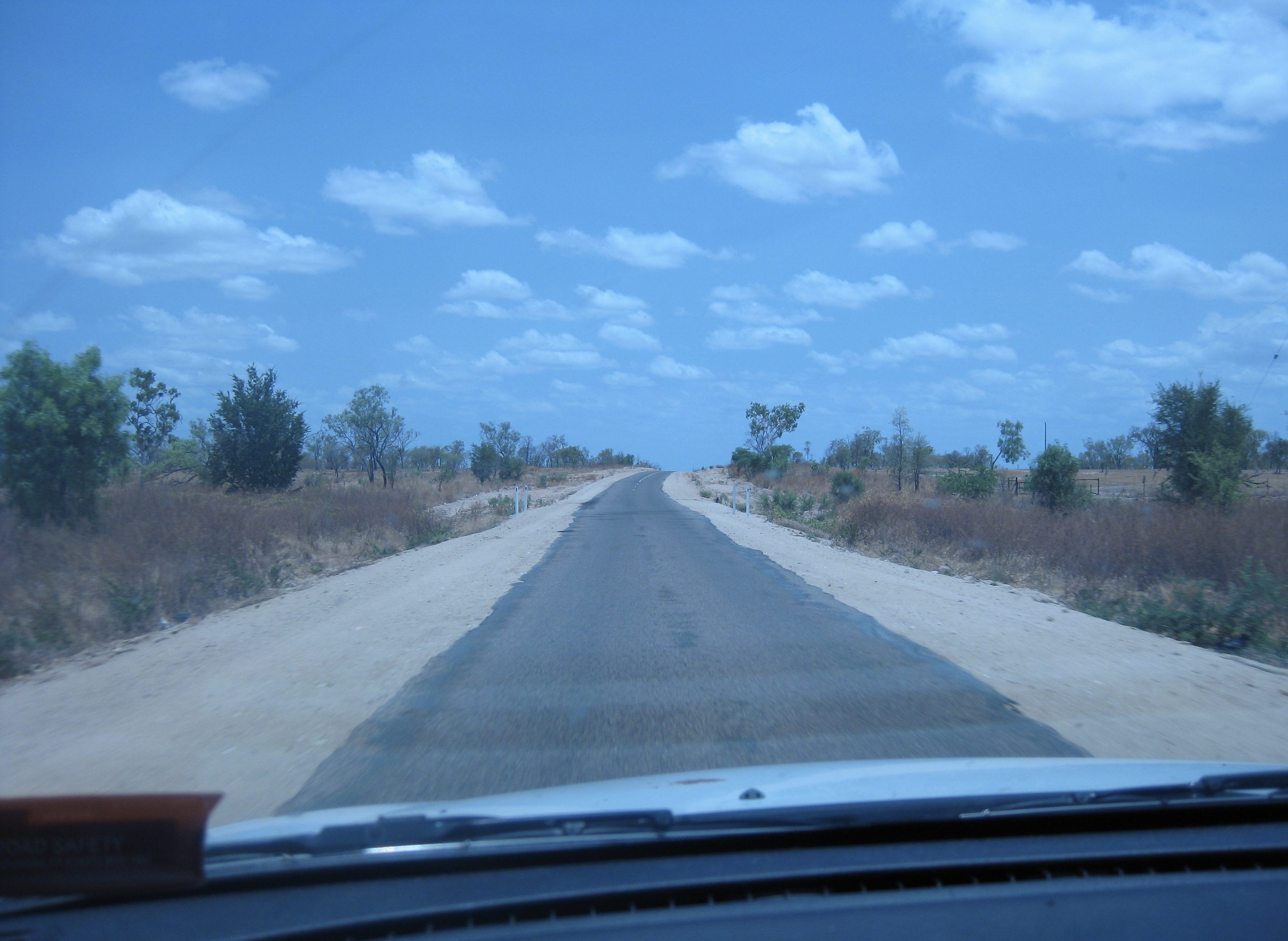
It was a road trip through New South Wales, not Queensland, that taught me to appreciate how interesting it is to see landscape paintings and also visit the landscapes they represent. It was between Cowra and Bathurst, where the Mid-western Highway of New South Wales curves through rolling hills near Carcoar, and a river winds past the distinctive shapes of weeping willows and poplars.
Con was driving while I sat musing on the passing landscape, brown now at the end of a long summer. The land seemed familiar, but couldn’t be: I’d never been this way before.
Then I realised. Brett Whiteley painted this country. We’ve got a print of it on the wall at home.
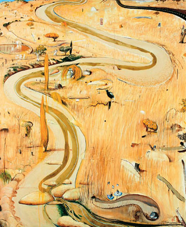
The painting is called “Summer at Carcoar”. As well as characteristic lush curves of road and river, there are magpies and a wren, a burrowing mouse, and a fox with head and tail above the tall, gold-brown grass. It’s a beautiful picture, the pride of the Newcastle Art Gallery. I’ve since found out that Brett Whiteley often painted the country round Bathurst.
That day, for the first time, it occurred to me that there is delight in seeing the actual country painted by artists, and that it doesn’t need to be Monet’s Garden at Giverny, or Van Gogh’s Arles.
The same pleasures are to be found here at home.