The first glimpse of the sea is always exciting. Suddenly there it is, spread out blue in the sun, with light glinting off the wave crests.
I feel calmer and happier near the sea. Perhaps it’s the clean, salty breeze. Coastal air seems more charged with oxygen than inland air. Perhaps it’s the peaceful sleep that comes with the sound of the waves all night long.
We think of Queensland’s Bruce Highway, in its magnificent 1679 kilometres from Brisbane to Cairns, as a coastal highway. The irony of it is that in all that length there are only four spots where can you actually see the sea. And you have to earn those views.
First sight of the sea comes 840 kms up the Bruce from Brisbane: well into the Tropics, passing the beaches of Noosa and Rainbow Beach, of Hervey Bay and Yeppoon, without a glimpse.
After eight hours or so of hinterland driving to Rockhampton and another couple of hours through the beautiful but dry cattle country further north, suddenly, below a curving hillside, across the railway line that skirts the highway, the sea appears. On a narrow strip of land beside the water is the tiny fishing village of Clairview.
Less than a minute’s drive later, it’s gone, and the dry forested hills are back.
“That looked beautiful,” you say. “We must stop there some time!”
A few weeks ago when driving to Cairns, we did stop at Clairview, spending the night in a cabin at the peaceful BarraCrab Caravan Park.
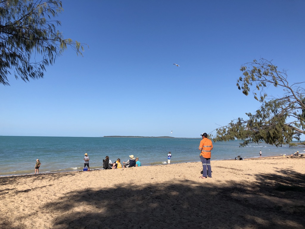
We ate fish and chips (neither barramundi nor crab was on the menu) with a beer at the casual licensed restaurant, looking across the coconut palm lined beach to the peaceful evening sky and sea, where people were strolling or fishing.
Workers commute up and down the Bruce Highway all year round, often spending the night in motels and caravan parks, and here at Clairview a tradie was standing relaxed on the beach, looking at the water, work done for the day, in hi-vis and thongs with a Fourex Gold beer can in his pocket.
We weren’t tempted to swim. Stingers and crocodiles are always a threat in these waters, and like all northern beaches in the shelter of the Great Barrier Reef, the waves are little more than ripples.
Onwards up the Bruce.
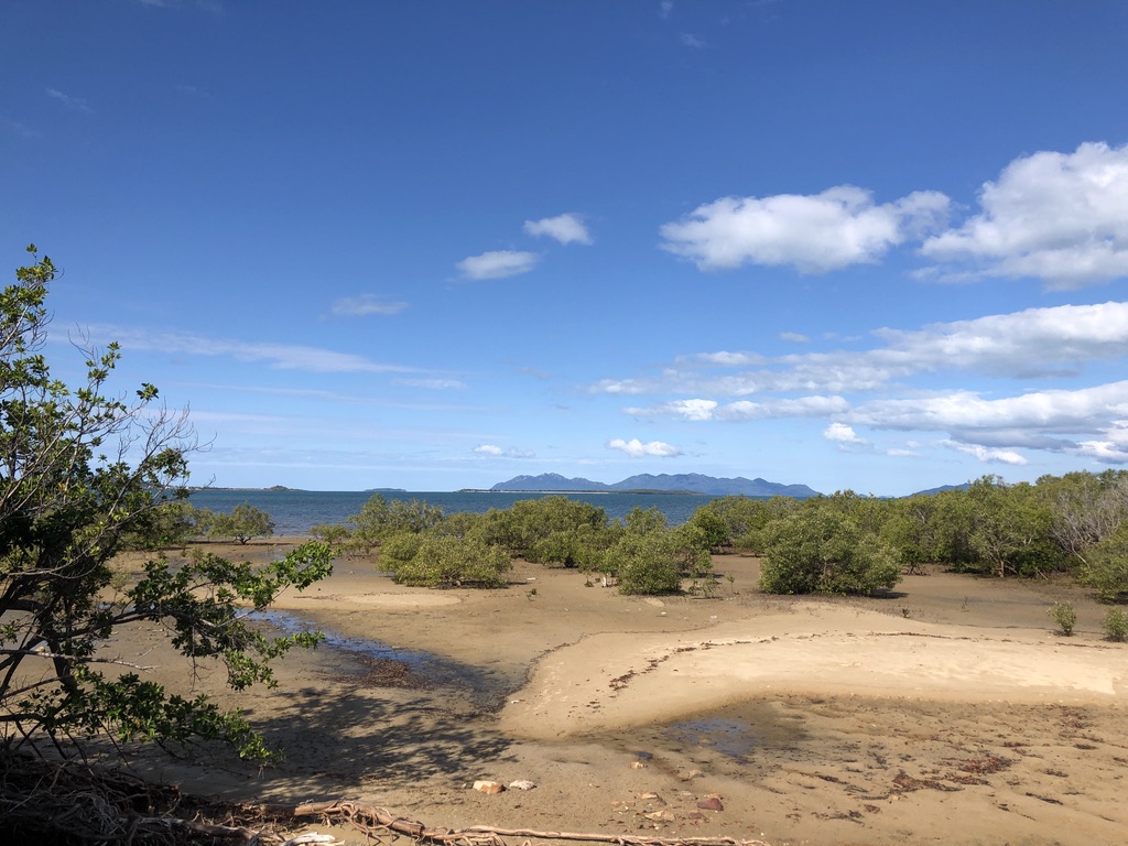
Three and a half hours north of Clairview, just south of Bowen and across the road from the Big Mango, you glimpse the sea again. The tide is out, revealing the roots of mangroves and millions of tiny mud dwelling creatures; but beyond them the water is bright blue. Looming to the east are the hazy purple hills of Gloucester Island and the Whitsundays.
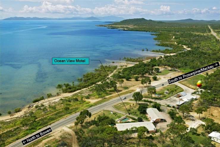
Nearby, above the highway and looking out across Nelly Bay, is the Ocean View Motel, and it’s a pleasure to sit outside a unit there, under the frangipanis, and enjoy the evening view across the water to the lights of Bowen.
This is one of the rare Bruce Highway motels with a view of the sea. You’ll need to drive north for another four hundred kilometres or so to find another.
An hour and a half north of Townsville comes the next ocean view. On a stretch of the these-days divided highway that crosses the Cardwell Range nineteen kilometres north of Ingham, you can glimpse the sea through roadside vegetation. For the full sea view, away from the fast-moving traffic, take the slip road at the top of the range and walk five minutes to Panjoo Hinchinbrook Lookout for a breathtaking outlook over the channel and Hinchinbrook Island (Munamudanamy) to the ocean.
The Banjin People are traditional owners of this large, undeveloped, beautiful island, which is part of the Girringun Indigenous Protected Area.
At Cardwell, thirty-eight kilometres north of Panjoo Lookout, the Bruce Highway at last spends time near the sea – the Coral Sea. Here, for over a kilometre, the highway follows the shoreline. A walkway leads past big old calophyllum inophyllum trees, otherwise known as ballnut trees, on the edge of the beach.

Governor Bowen, travelling in the ship “Platypus”, visited this area in 1865, only a year after the town was formed and the local Girringun people had been violently “dispersed” from their ancient lands. The Queensland Government wanted Cardwell for a port.
Governor Bowen was impressed by the calophyllum trees, hundreds of years old even then. Since 1866 they’ve been protected by law; and they weathered Cyclone Yasi better than most.
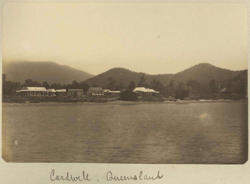
In 2011, Cardwell was devastated by Yasi, with sand and water blown across the highway, the bitumen ripped up and houses destroyed; but now, eleven years, later, it has never looked better.
Girringun Bagu sculptures, based on the design of firesticks, by local artists Eileen Tep and Charlotte Beeron, stand enigmatically on the shoreline. They watch the tourists who stop here for the scenery, the information centre, playground, petrol and food.
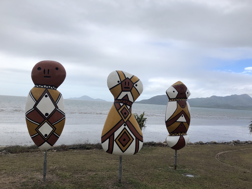
There are motels and pubs, the popular Yasi Bar, and a charging station for electric vehicles. And the calophyllum trees.
Best not go for a swim, though. Crocodiles and stingers are common here, so close to the mangroves and muddy water of Hinchinbrook Channel.
That’s it for sea views from the Bruce Highway.
Named in the 1940s after a North Queensland Labor politician and Minister for Works, Harry Bruce, this highway deserves a more romantic, evocative title. Many travellers have called it derogatory names over the years, one favourite being Goat Track. That’s unfair. This is a long road, covering difficult terrain in an extreme climate, with a comparatively small population to pay for it.
I’ve been travelling the Bruce for over fifty years, in drought and in flood. I’ve crossed the old Marlborough Stretch, been stopped at its one-way bridges, experienced flat tyres and breakdowns and dodgy motels. I’ve crawled around the hills south of Gympie, stuck behind caravans on the old narrow, curving road that has now been replaced by a motorway. I’ve suffered the bumps and potholes in the flood-prone roads around Bowen and Proserpine. But to me the Bruce Highway is a beautiful road, and I’ve seen great improvements to it over the years, making it far safer and more pleasant to drive on; and upgrades are happening all the time.
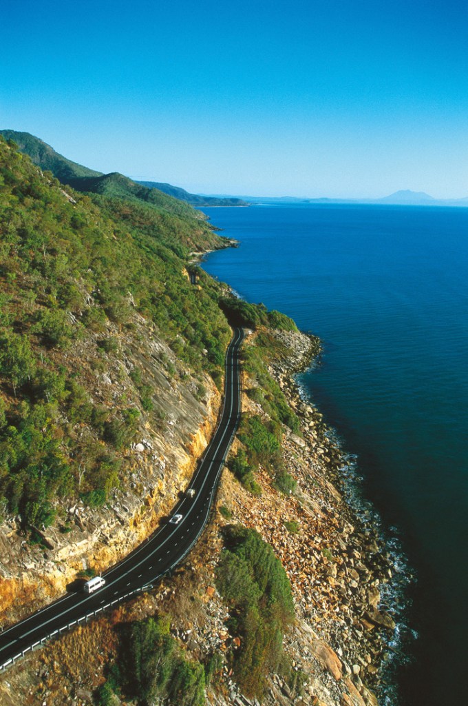
However, if it’s sea views you want, you’d be better to take the Captain Cook Highway from Cairns to Port Douglas.
There are many spectacular sea views to enjoy in Queensland; but you’ll have to leave the Bruce to find them.
[1] https://www.theguardian.com/lifeandstyle/2019/nov/03/blue-space-living-near-water-good-secret-of-happiness
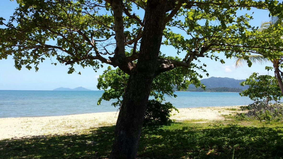

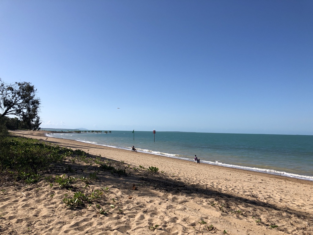

I know all four of these spots and yes, the views are gorgeous. Isn’t Clairview a nice little place. And the drive from Cairns to Port Douglas is stunning.
LikeLiked by 1 person
How beautiful!
LikeLiked by 1 person
That view from Panjoo lookout has to be one of the country’s best.
LikeLike
I agree. Hinchinbrook Passage and that beautiful old island, no sign of development- a wonderful sight.
LikeLiked by 1 person