Captain Logan and Queen’s Wharf

“The settlement,” Cowper had told Clunie on the Isabella, “is mostly on one point of land. Penis-shaped, we shall say, backed by a high ridge we shall call the Line of Bollocks.”[1]

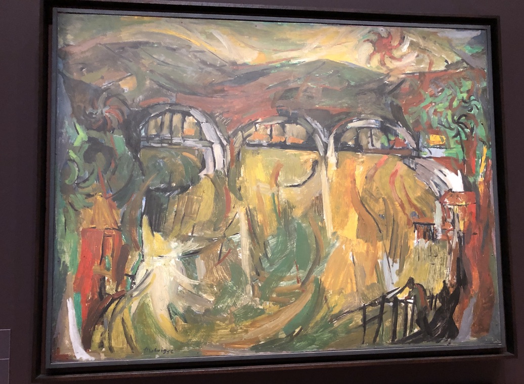
Jessica Anderson wrote a wise and interesting novel of convict Brisbane, “The Commandant”, published in 1975. It includes this pungent description of the site of the Moreton Bay Convict Station, in the words of the notoriously bitter, badly-behaved drunk, Henry Cowper, the convict station’s first medical officer. The site of the Moreton Bay Convict Settlement, established in 1826, runs along the ridge where William and George Streets run now.

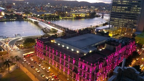
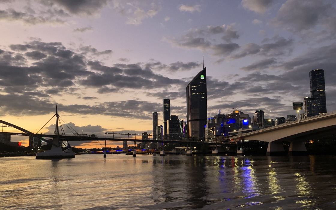
Queensland’s government buildings still occupy this “penis-shaped” piece of high ground along the river.  

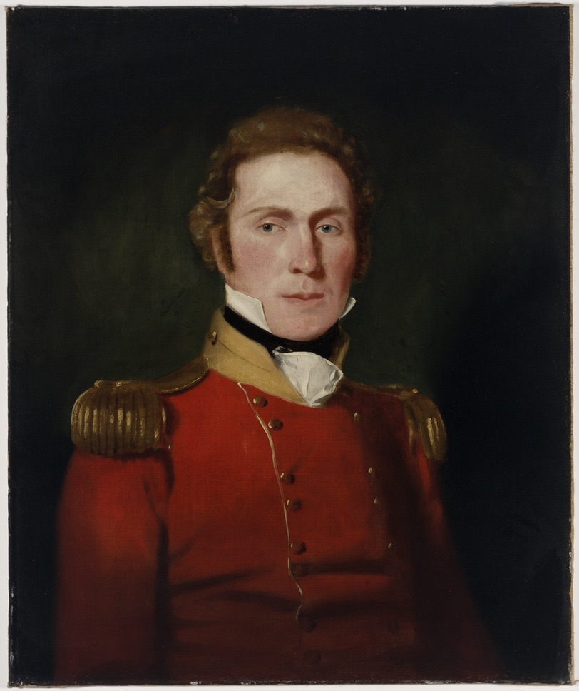
Henry Cowper was the medical officer for the Settlement from 1826 to 1832. He worked in primitive conditions in this isolated, under-funded and under-supplied outpost of the British Empire. Captain Patrick Logan was the commandant.

Captain Patrick Logan, 57th Foot Regiment, Commandant of Moreton Bay Convict Station 1826-1830 State Library of New South Wales

Jessica Anderson’s excellent novel was thoroughly researched, and conditions in the settlement, and many of the characters, are based on records of the time. The novel culminates in the sombre discovery and retrieval of the body of Captain Logan.

Captain Patrick Logan of the 57th Foot Regiment, a veteran of the Peninsula War against Napoleon, was commandant of the settlement from 1826 until his murder in 1830 at the age of just thirty-nine.

Many men who came to Australia in the early years of European occupation, to supervise convict stations and run governments, were veterans of the European wars of the early nineteenth century. Violence and flogging were not new to them. Logan was a notoriously harsh disciplinarian who followed the rules without mercy. The floggings Logan ordered for convicts would have provided Cowper with a stream of grievously injured patients.

Constant complaints about the treatment of Moreton Bay convicts were made to the government in Sydney. The famous old song “Moreton Bay” has a convict describe it:  

For three long years I was beastly treated 
And heavy irons on my legs I wore
My back from flogging was lacerated
And oft times painted with my crimson gore
And many a man from downright starvation
Lies mouldering now underneath the clay
And Captain Logan he had us mangled
All at the triangles of Moreton Bay

Like the Egyptians and ancient Hebrews
We were oppressed under Logan’s yoke
Till a native black lying there in ambush
Did deal this tyrant his mortal stroke
My fellow prisoners be exhilarated
That all such monsters such a death may find
And when from bondage we are liberated
Our former sufferings will fade from mind[2]

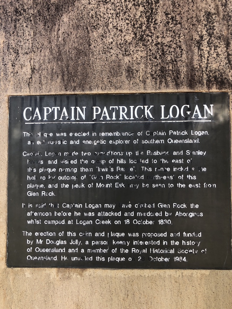
In Esk, in the Brisbane Valley, the Memorial Park has shady trees and picnic tables. We stopped there for lunch one day. Sandwich in hand, I wandered around the park, and found a rock with a plaque attached. The plaque describes Patrick Logan as “an enthusiastic and energetic explorer of Southern Queensland’, and provides the information that it was near here, on 18 October 1830, on his last exploratory trip before his term as commandant was over, that he was killed by an Aboriginal group.

Plaque on the monument in Esk Memorial Park

It may be true that escaped convicts were also involved in Logan’s murder; but there is always going to be violence when one group invades another’s traditional homelands and takes them for their own.

Patrick Logan made frequent exploratory expeditions and is credited with many “discoveries” in south-east Queensland. His name is on lookouts at Rathdowney and Mount French in the Scenic Rim. He is credited with discovering the Logan River, Dugulumbah to Yugumbeh people who had known it for thousands of years. Logan Road, the City of Logan, and many other plaques, streets and suburbs carry his name.

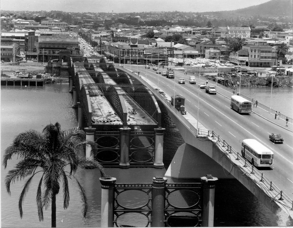
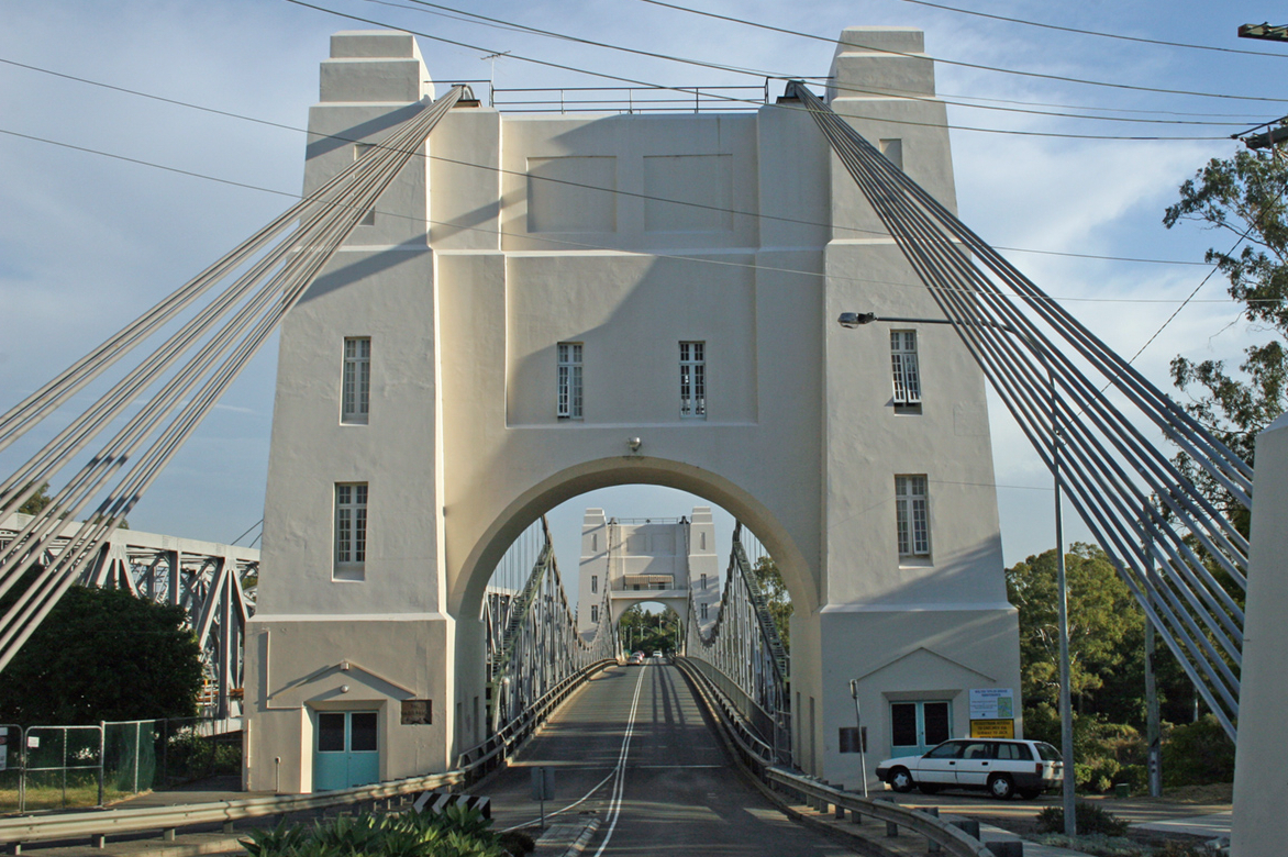
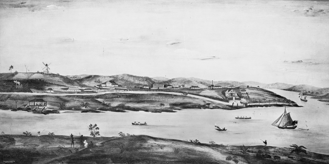
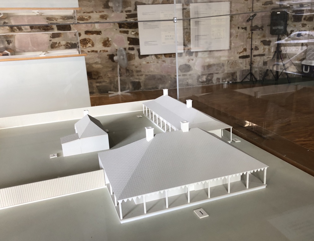
During Logan’s time as commandant, the first permanent buildings in what was to become Brisbane were erected. Two of them still stand: the windmill up on Wickham Terrace (on Cowper’s “Line of Bollocks”, in fact) and the Commissariat Store in William Street, the oldest inhabited building in Brisbane. The Commissariat Store building is now the Convict Museum and the headquarters of the Royal Historical Society of Queensland, and on its lower floor can be seen models of the Convict Station the way it looked at the time of Logan’s death.

The Commissariat Store, in its original two story form, can be seen above the wharf towards the end of the point of land. The Commandant’s house is the last one on the right above the Store. The wharf was not called “Queen’s Wharf” in those days. George IV had recently died, and William IV was king. Queen Victoria did not gain the English throne until 1837. “Image of early Brisbane Town in convict days, ca. 1831. From a painting by Cedric Fowler.” collections.slq.gov.au

These include a model of the Commandant’s house, with a verandah in front.

Model of the Commandant’s house, in the Convict Museum, William Street, Brisbane

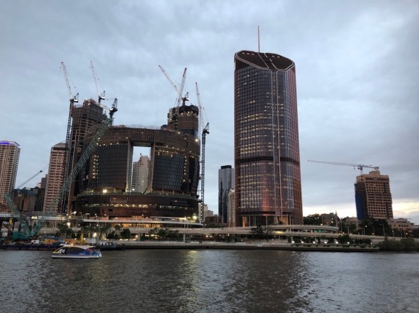
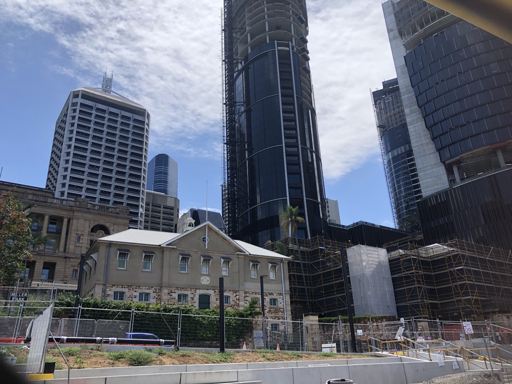
A museum volunteer tells me that the house, which features in Jessica Anderson’s novel, looked across William Street to the river, near the site where huge casino and hotel buildings are currently rising: the Queen’s Wharf Development Project.

The roof and top floor of the Commissariat Store, now headquarters of the Royal Historical Society of Queensland, William Street. Queen’s Wharf Development site in the background

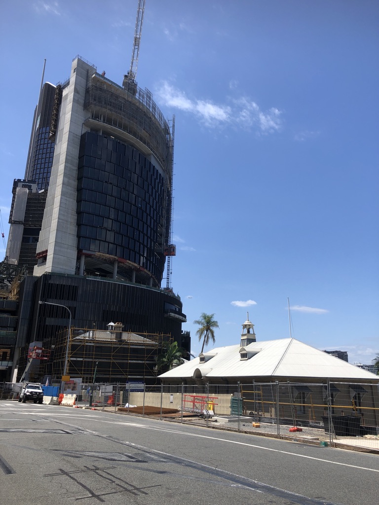
According to the website, the finished Queen’s Wharf development will include a Sky Deck 100 metres above William Street, and fifty restaurants, bars and cafes.

This whole area is a massive construction site; and in the midst of it sits, incongruously, the Commissariat Store.

Commissariat Store in the midst of construction site

I’m told the developers wanted to take over the convict-built Commissariat Store. It would have made a fine site for a restaurant and bar, this old stone building opening out on to the riverbank. But somehow the RHSQ managed to keep it.

The white peaked roof of the Commissariat Store can just be seen behind the freeway overpass. The Commandant’s house would have been behind the building with the cranes

Other historical buildings within the William and George Street precinct are being protected and preserved, but it’s difficult now to imagine the environment of simple wooden buildings, dirt pathways and gardens that occupied this stretch of land two hundred years ago.

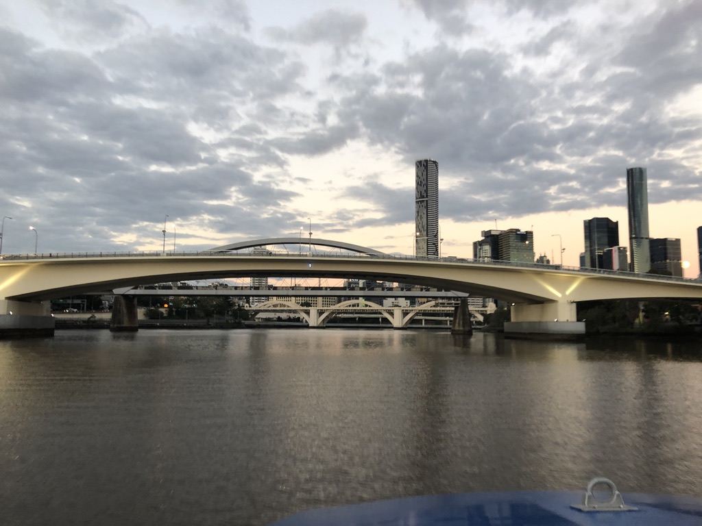
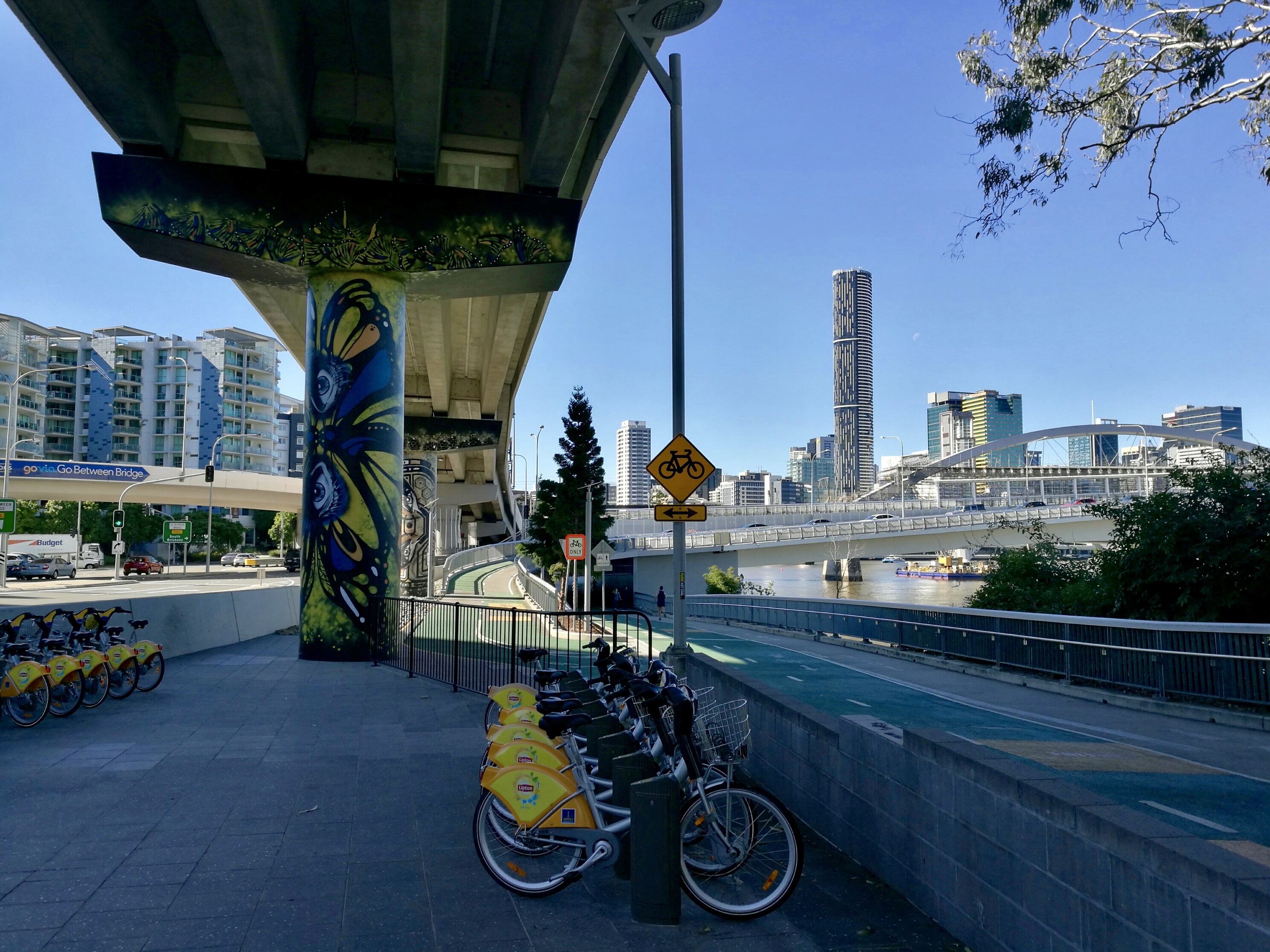
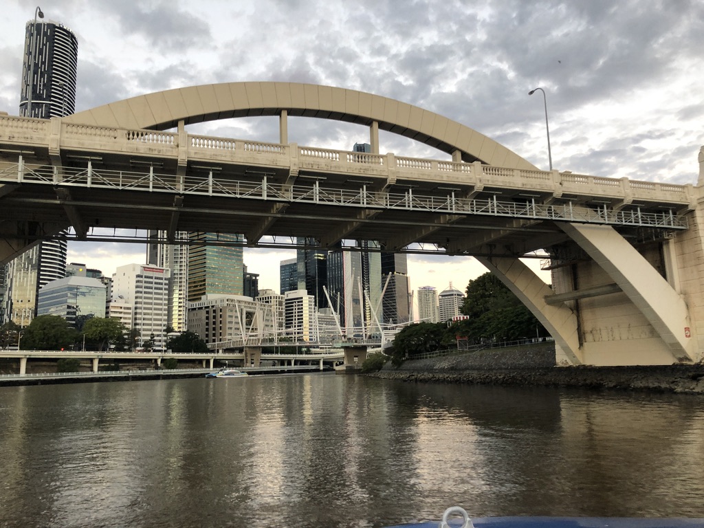
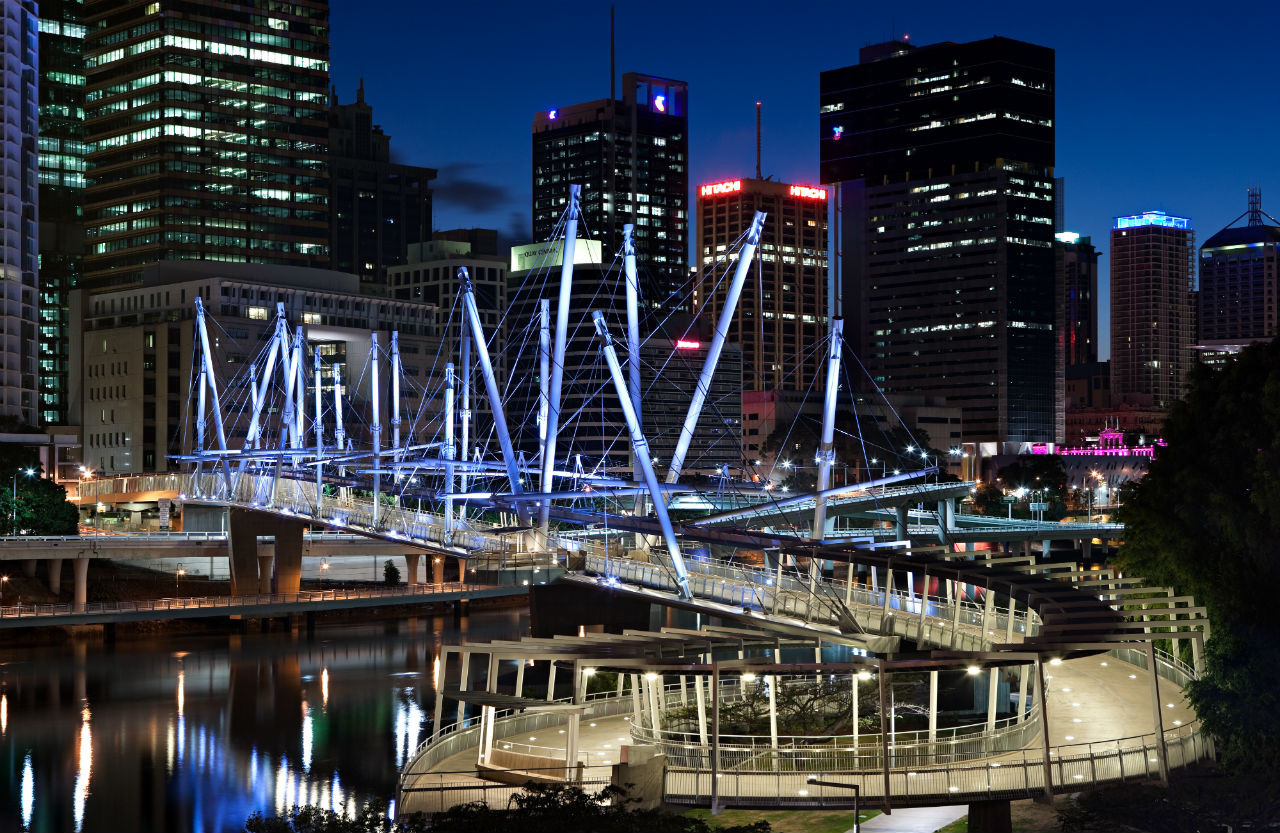
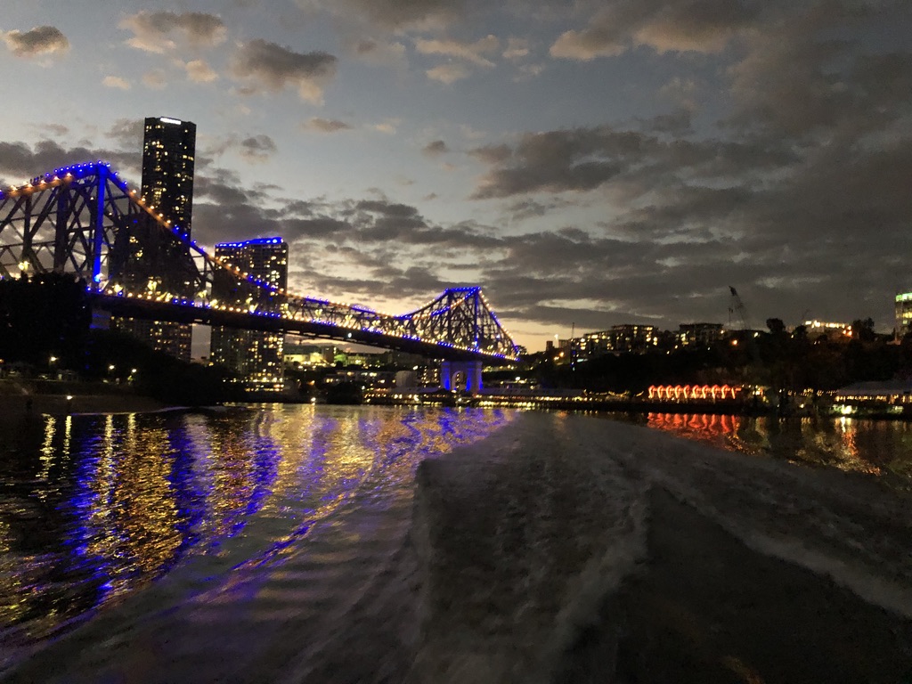
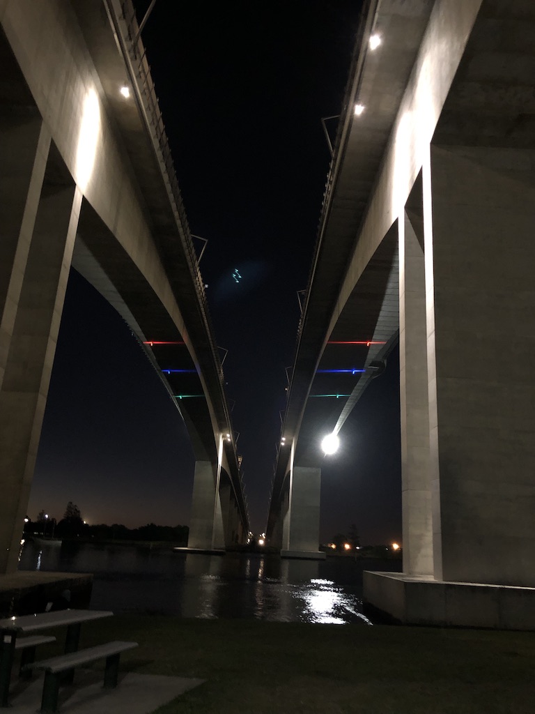
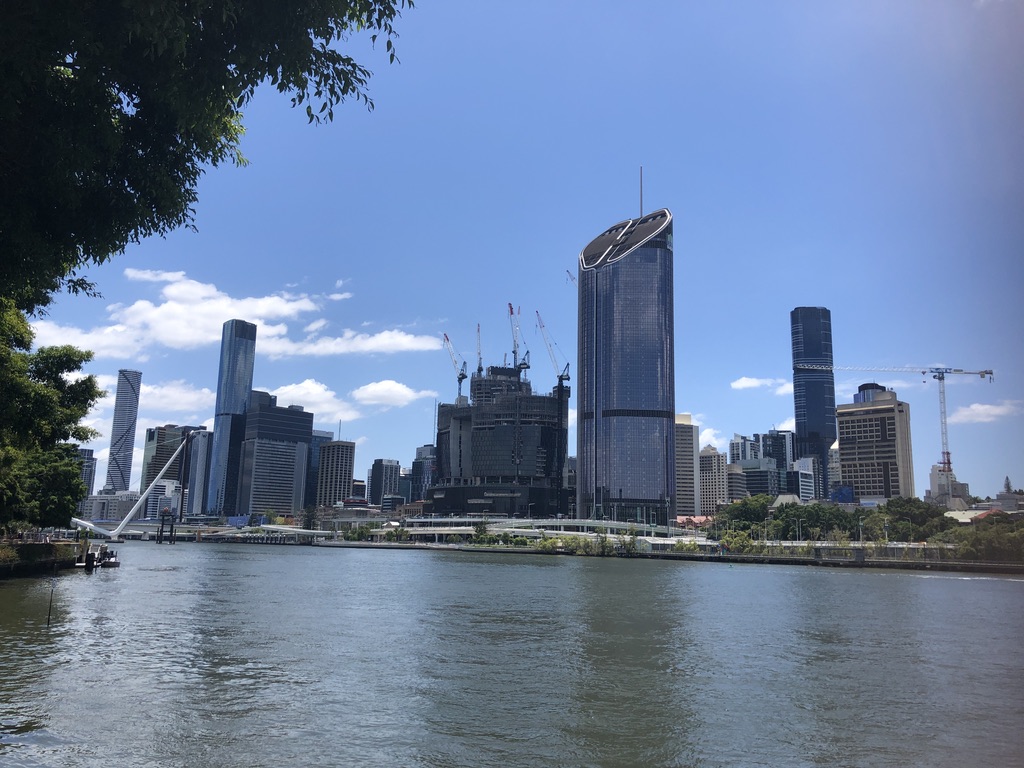
Today there’s a huge, powerful white snake rearing out of the Brisbane River, looking as if it’s about to strike.

Neville Bonner Bridge under construction

It’s the new Neville Bonner Bridge, startling in its design but destined to become a Brisbane icon. The last sections have been craned into place, and soon pedestrians will be able to cross from Southbank Parklands to take part in the promised glories of the new development.

The ridge above the river will never be the same again. Patrick Logan would not recognise it.

It’s to be hoped that enough well-off tourists come to spend their money there to pay for it all.


[1] “The Commandant”, Jessica Anderson. First published 1975. This edition: The Text Publishing Company, Australia. 2012. P. 74.

[2] folkstream.com

Bridges of Brisbane

As evening comes down over the river, I’m standing with my grandson Angus on a CityCat ferry. We’re heading downstream from UQ to photograph the bridges of central Brisbane. The muddy old Brisbane River, MAIWAR in Turrball language, is at its most beautiful.

High above us as we waited at the ferry wharf was the Eleanor Schonell Bridge, opened in 2006 to link Yeronga to the University of Queensland. Carrying only buses, cyclists and pedestrians and known to everyone as the Green Bridge, its four tall towers are visible from kilometres away.

Eleanor Schonell (Green) Bridge

On board the CityCat we’ve moved through the cabin to the bow, holding the rail as its powerful engines send the boat surging down the river and round its slow curves, past the university sports fields and old, timber houses high on the opposite banks.

Go-Between, Merivale and William Jolly Bridges, looking downstream

Coming down the Milton Reach towards the CBD, the wind in our hair, we can see three bridges at once.

Closest to us is the graceful white span of the Go-Between Bridge, opened in 2010 to connect West End to the Inner-City Bypass at Milton.

Approaches to the Go-Between Bridge from under the Coronation Drive overpass

Beyond the Go-Between Bridge is the coat-hanger arch of the Merivale Bridge, the railway bridge which connects South Brisbane Station to the north side of the river, crossing Melbourne Street behind the old Hotel Terminus, where you might once have spent the night after getting off the Sydney train at South Brisbane Station. Until the bridge opened in 1978, to catch a train onwards to Cairns or Cunnamulla or Longreach, you’d have needed take a taxi across the river to Roma Street Station, probably via the William Jolly road bridge, known to most as Grey Street Bridge.

Opening in 1932 to link South Brisbane to the CBD at Roma Street, Grey Street Bridge, with its graceful cream art deco arches, is one of Brisbane’s best-loved bridges and the most celebrated by artists.

The Grey Street Bridge, Vida Lahey. Bridge under construction. artrecord.com
Grey Street arrangement Jon Molvig. Museum of Brisbane

From under the Grey Street Bridge, around the bend of the river at Kurilpa Point, the spectacular Kurilpa pedestrian bridge comes into view, with its many white masts like drinking straws or a sailing ship’s spars.

Kurilpa Bridge, from under Grey Street Bridge

Opened in 2009, it joins Kurilpa Point (from the Turrball word for place of the water rats) to the CBD at Tank Street.

Kurilpa Bridge. australiandesignreview.com

Now we’re approaching the slim, elegant span of Victoria Bridge, opened in 1969.

Victoria Bridge

As a teenager, I used to cross the old Victoria Bridge by tram, and it made me nervous to see the sign limiting the number of trams per span of the bridge. Instead of two or three, there were often five or six going each way.

“Out with the old, in with the new… The Victoria Bridges in December 1969”. reddit.com

Now Victoria Bridge carries only buses, cycles and pedestrians across the river between South Brisbane and the top of Queen Street. It’s beautiful this evening, lit up with colours that are reflected in the timeless ripples and eddies of the river.

Downstream from Victoria Bridge our CityCat negotiates an obstacle course of construction barges. A spectacular footbridge, the Neville Bonner Bridge, is due for completion in 2022, linking South Bank Parklands to the ambitious Queens Wharf development with its hotel and apartments, casino, shops and parks. Let’s hope tourism dollars will return to Brisbane soon to pay for it.

Image of how the Neville Bonner Bridge and the new Queens Wharf development are expected to look. queenswharfbrisbane.com.au

 The Goodwill Bridge, opened in 2001 to carry cyclists and pedestrians from South Bank to Gardens Point, is next, with a stylish design and a little coffee bar on one of its viewing platforms.

Goodwill Bridge, with the Captain Cook Bridge in the background.

I love how it looks in the evening light, looking back to the CBD buildings and the lights of Victoria Bridge.

Goodwill Bridge, looking upstream.

At Gardens Point the clean line of Captain Cook Bridge links the Pacific Motorway to the Riverside Expressway. Opened in 1973, in the time of Premier Joh Bjelke-Petersen, when modernisation was everything and cars were king, the bridge has no pedestrian or cycle access. We travel under it and watch joggers and evening pedestrians in the riverside parkland, and climbers spread-eagled under the lights on Kangaroo Point Cliffs.

A CityCat coming towards the Captain Cook Bridge, with the Kangaroo Point Cliffs in the background.

Ahead the tall, lit-up buildings of Petrie Bight come into view, and on the next bend the Story Bridge.

Petrie Bight buildings and the Story Bridge

The heritage-listed Story Bridge is the most iconic of Brisbane bridges. A massive steel structure, it was built as part of public works programs during the Great Depression and opened in 1940. (See my story Brisbane Icons: Fig Trees and the Story Bridge.)

Sunset fades from the sky and the lights of the bridge and high-rises shine on the water.  Howard Smith Wharves, with bright and noisy hotel, restaurants and bars, slide by.

Under the Story Bridge. On the roof of a hotel at Howard Smith Wharves, people relax beside a pool.

The bridge is high above us as we steady our cameras against the movement of the speeding ferry.

Under the bridge at evening

The Story Bridge looks magnificent reflected in our wake.

Looking back at the Story Bridge and the lights of Howard Smith Wharves

At the next CityCat stop, Mowbray Park, we disembark to catch another ferry back upstream.

To see more of Brisbane’s bridges, Angus and I might take a cruise upriver one day, under the bridges at Indooroopilly and Jindalee.

The utilitarian-designed Centenary Bridge, opened in 1964, carries the busy Centenary Highway between Fig Tree Pocket and Jindalee.

Centenary Bridge, looking from Jindalee to Fig Tree Pocket

From under the bridge, shady walkways lead downstream past mighty riverside eucalypts and fig trees, the treasures of Brisbane’s riverside parks.

At Indooroopilly, on a deep bend of the river, there are four bridges: the road bridge, two rail bridges and a cycle and pedestrian bridge.

Under the Indooroopilly bridges

I lived at Indooroopilly with my family (see my story Gully of Leeches) when there were just two bridges. I used to ride my bike to school across the white, art deco Walter Taylor road bridge, under its towers and past the tollbooth. The northern tower of the bridge famously included an apartment, where washing was sometimes strung to dry high above the traffic.

Walter Taylor Bridge, commonly known as the Indooroopilly Bridge. queenslanddecoproject,com

Until it opened in 1936, the only bridge at Indooroopilly was the Albert Railway Bridge carrying the Ipswich Line. Another rail bridge was opened in 1957, and in 1998 a pedestrian and cycle bridge on the downstream side.

If we’d stayed on the downstream CityCat, Angus and I would have come within sight of the twin Gateway Bridges, officially named after Sir Leo Hielscher, lit up dramatically and arching high above the river.

Fishing, upstream from the Gateway Bridges

Opened in 1986 and 2010, the upstream bridge takes northbound traffic, while the downstream one carries southbound traffic as well as a cycle and pedestrian path.

Under the Gateway Bridges

Con and I walked one winter’s day from beneath the southern end of the bridge, up to the top. From the viewing platform there, we could see down to the river mouth and Moreton Bay. It was a long slog to the top of the bridge, but not too steep, as it was built to carry heavily laden semi-trailers.

Other cycle and pedestrian bridges are in the planning stages, to link Saint Lucia and Toowong to West End, and Kangaroo Point to the City Botanic Gardens.

I can remember when old Maiwar was treated with little respect, as a flood-prone dumping-ground that people crossed in a hurry in cars, buses and trams. Now it has been reclaimed for pedestrians, cyclists and ferries, and its banks and its bridges are sources of pleasure and pride for Brisbanites.

How would you like to be

Down by the Seine with me

Oh what I’d give for a moment or two

Under the bridges of Paris with you…

(Eartha Kitt 1953)

The Seine in Paris has 37 bridges, but crossing approximately thirty-five kilometres of the river in Brisbane there are just sixteen. The Brisbane River is wider than the Seine, and not as easily bridged, or tamed; and the bridges of Brisbane are not as classically elegant as the bridges of Paris, made famous by Eartha Kitt in her sexy version of this famous song.

But I love our Brisbane bridges.

All are spectacular; some are iconic; and old Maiwar flowing beneath them is beautiful.

Looking upstream from the Centenary Bridge

Blog at WordPress.com.

Up ↑