By: Rose O’Brien
Walk designed by Greg Endicott
6kms (approx.)
This walk starts at the top of Cavendish Rd and ends at Coorparoo Junction. It zigzags through leafy gullies and streets named after planets and stars, past comfortable houses with views of tree tops from back decks and access to bushland tracks.
- Start at bus stop 39, Capella St, below the reservoir on Cavendish Rd.
- Walk downhill to View St and turn right.
- From the left-hand side of the street, scramble down a short, steep slope to the Mars St park. Cross the park and the street to the Octantis St park.
- Walk down the track through Octantis Park to Meridian St and turn right.
- Turn right past the Scout Hut into the Eva St park. Follow the track all the way up to Rigel St, admiring the trees and well-cared-for plantings along the way.

- Turn left on Rigel St, right on Solar St, then left on Sirius St. Enter the Sirius St parkland and follow paths and steps downhill to Orion St.
- Turn right on Orion St and left on Procyon St. Follow Procyon St past two small parks to Chatsworth Rd.
- Walk to the left passing California Native restaurant and cross Chatsworth Rd where safe to Esmonde Place.
- Follow Esmonde Pl and turn right on Norfolk St then left on Kelsey St. Follow it through to Leicester St and turn left.
- Cross Leicester St to the small park opposite to York St. Walk through the park to the left of the playground to meet the pathway leading left behind the houses.
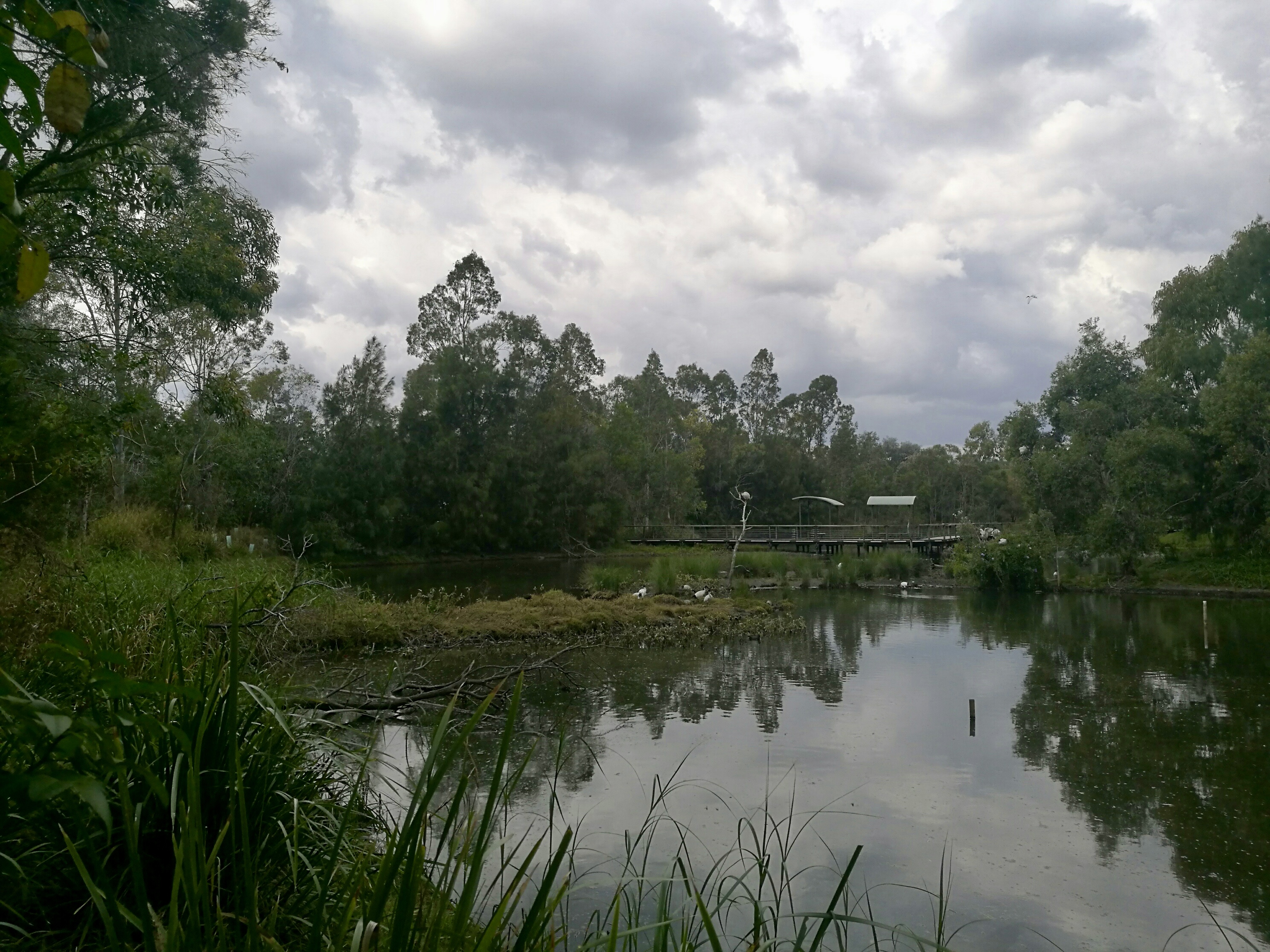
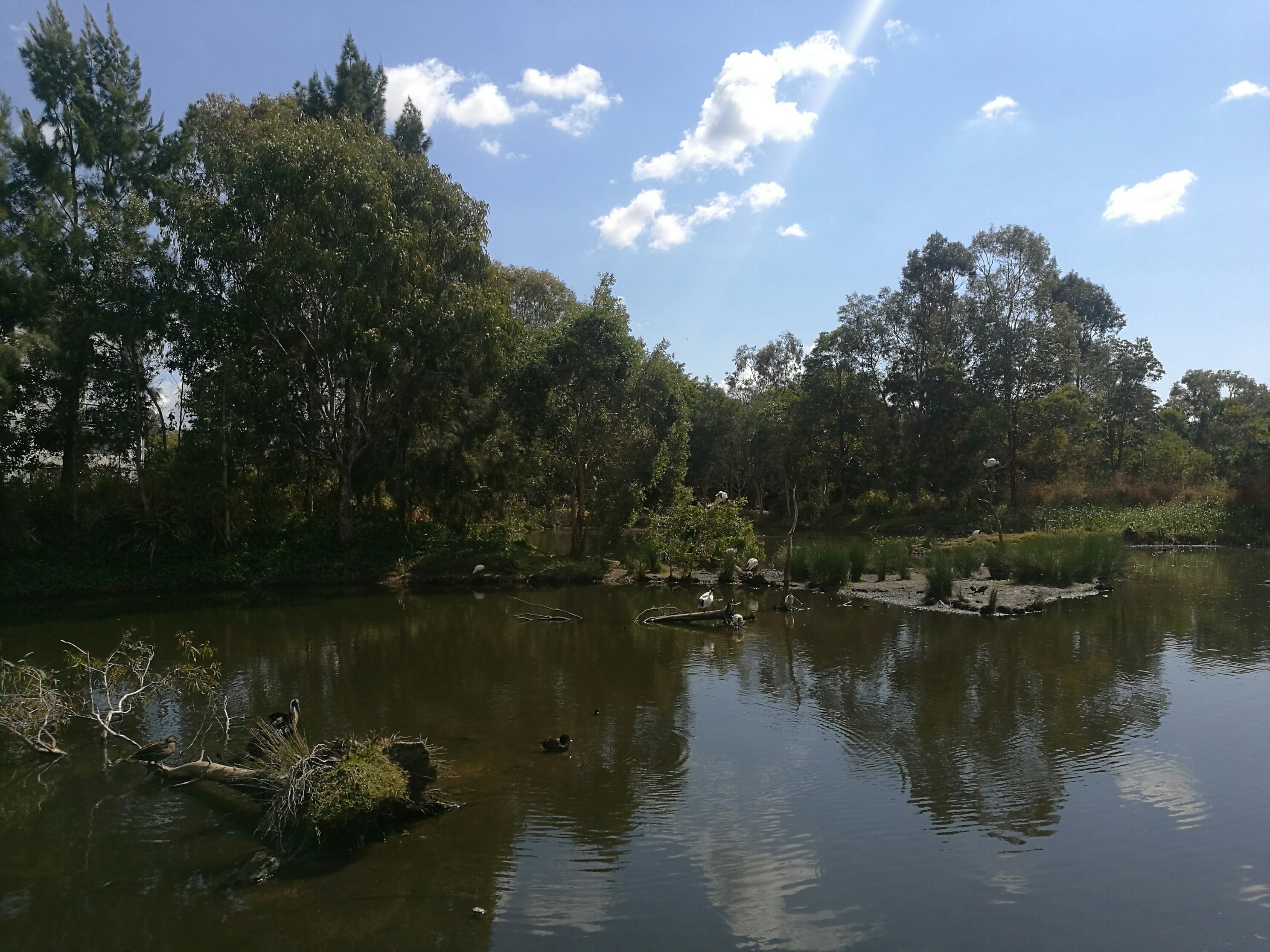
- Turn left where the path meets the board walk, then turn right to follow the boardwalk across Bowie’s Flat Wetland. Admire the birdlife in this area, which was created to mitigate flooding and filter storm water.
- Follow the parkland through to Old Cleveland Rd and turn left. Follow Old Cleveland Rd to Coorparoo Junction.
